|
Havasupai Falls near the campground. This is a great place to hang out after the 10 mile hike in. The water was probably about 70 degrees and there was a great place to jump in and hang out to relax your tired muscles.
|
 |
| Havasupi Falls is a great place to spend the day relaxing and jumping into the water. |
The trail head for Havasupai Falls is about 4.5 hours from Henderson, NV. It is a 10 mile hike to the campground mostly through a shaded canyon. At the 8 mile mark you stop at Supai where you check in and then hike another two miles down to the campground. You must have a permit to hike down into the canyon. To obtain a permit contact the
Havasupai Tribe by calling them and making a reservation at least 3 months ahead of time. You must pay the full amount upfront and there are no refunds for cancellation.
We stayed overnight at Peach Springs, but found that we didn't get a lot of sleep because of the trains that went through every 15 to 30 minutes. The front desk gives everyone earplugs when they check in. We got up at 3:30 and drove 2 hours to the trail head and arrived at dawn. Some people were camping out just below the parking lot which we thought we might do next trip since we ended up not getting much sleep at the motel, at least we would have two extra hours to sleep.
The next part of the hike is through a shaded canyon. There is a lot of loose gravel and sand especially since the pack horses use it constantly. You must get out of the way when the pack horses come through. They are pretty loud in the canyon so you usually have lots of warning before they approach.
The last two miles of the hike to the campground is steep in places and also mostly in the sun.
We did this hike in September and the weather was perfect. It was 90 during the day and 65 at night. Many people left at 3 am when it was still dark to hike down, but we found that it really wasn't necessary because it wasn't that hot. We left at dawn and made it down in about 4 hours so it was around 10 am when we arrived. If you were doing this hike in the middle of the summer, 3 am might help you beat the heat, but there are too many things in the trail to trip you up and I don't think it would be worth the risk of getting hurt. We talked to one couple who had hiked in years earlier with friends and one of them ended up falling and breaking an ankle. They had to wait many hours before they got any help out of the canyon. The last part of the hike is along a creek so if you get hot you can just wet yourself down.
Some people leave really early to get a good campsite. We went at the busiest time of the year. They said there would be over 285 campers, but we found the the campground really wasn't busy and found a campsite right next to the only water source in the campground. Most people preferred to camp lower down near the river, but we found the water location convenient and more desirable than an amazing view. The campground is a mile long and many of the campsites hold up to ten tents.
 |
| Bridge at the campground. |
According to the rules the campsites are first come first served, but we found that some tour groups left tents behind to reserve their campsites for the next group they brought in. You are given a permit that you hang on one of your tents. You are only supposed to put tents in campsites if you have a permit and attach the permit with the current date on your tent. If you don't see a permit on a tent in a campsite with the correct date, then that campsite is available to use.
The campground was very quite and most people were in their tents and asleep by sunset.
We decided to hike down and carry all our camping gear which was about 35 lbs each. I had planned to fly out on this trip because I knew that we would be tired. This worked out okay since I knew that we would have to wait a long time for a flight. Some people got very upset because they had to wait about 7 hours before they could get on a flight even though they showed up at dawn to sign up and pay. The residents get first flights out even if they don't show up until noon. You can see them returning from their trip to town before you even get to board. But they do warn you of this before you fly. It was interesting to watch the helicopters land, and hang out with the Supai Indians. There were dogs roaming free everywhere even on the landing pads. No one seemed to care. They were very entertaining at times.
 |
Dogs hanging out near the landing pad
|
 |
| Dogs hanging out of the landing pad while they unload. |
Next trip I will pay for the pack horses both ways and bring an extra backpack to just carry water. While the hike down wasn't difficult, I'm sure the hike out would be much more strenuous since it is all up hill on loose rock and sand. But without the heavy packs it would not be that hard, just tiring.
Mooney Falls
Mooney Falls is amazing but the trail down is steep down the side of the canyon wall. If you are afraid of heights, don't do this hike.
It isn't as scary as it seems because there are chains for both hands to hold onto all the way down. The only problem at the bottom is that the chains are constantly wet by the spray of the waterfall. You have to stop and wipe the mud off your hands often before proceeding. We used gloves on the way up which helped a lot.
The trail is only about a mile but it is very slow going because everyone wants to stop and take pictures in the tunnel area and you really can't go around very well. Plus you have to watch every step you take and make sure your footing is secure before proceeding which takes a lot of time. It's interesting to look at old photos of this trail to see how the route has changed over the years.
Mooney Falls is amazing but not as many people hang out here because it is mostly in the shade and can be kind of cold with the mist from the falls in the air. Most people continue on to Beaver Falls. We didn't go to Beaver Falls because we heard thunder, we took some pictures and then went back up the trail to Havasupai Fall to hand out.
Notes:
Make sure you bring water shoes to hang out by the falls. The rocks are very slippery in bare feet.
This is not a place for children or for people who not physically fit. There are many places to get hurt and it is really difficult to get medical attention. The hikes are long and difficult. Older children would enjoy it if they were in good physical condition. Even if you fly in and stay at the motel, you still have to hike a 4 miles round trip to Havasupai Falls. We saw no children on this trip, but we did go in the middle of September when they were in school.
 |
Mooney Falls from the trail.
|
 |
| Looking Down on Mooney Falls |
 |
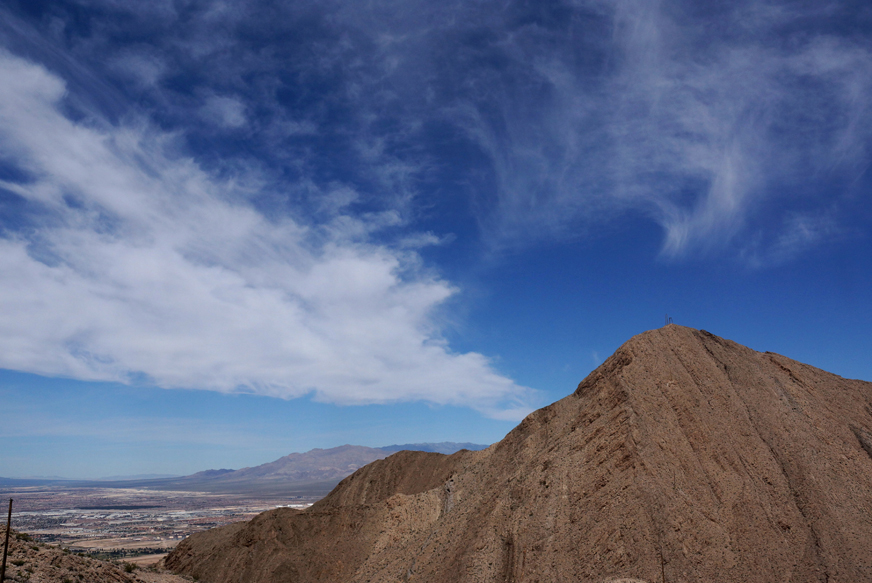
| Hiking in to Supai |
 |
| Bridge near Supai |